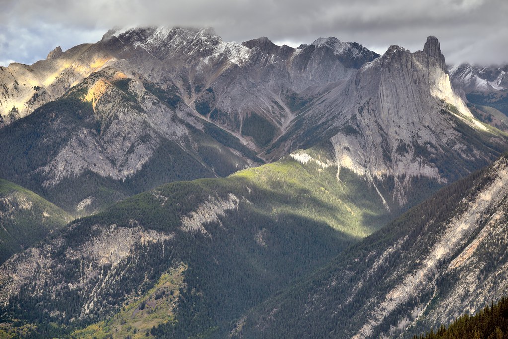
Banff National Park, AB (No. 5)
The Canadian Rockies may have risen up to 8,000 metres (26,000 ft) approximately 70 m.y.a. Once mountain formation ceased, erosion carved the mountains into their present rugged shape. The erosion was first due to water, then was greatly accelerated by the Quaternary glaciation 2.5 million years ago. Glacial landforms dominate Banff's geomorphology, with examples of all classic glacial forms, including cirques, arêtes, hanging valleys, moraines, and U-shaped valleys. The pre-existing structure left over from mountain-building strongly guided glacial erosion: mountains in Banff include complex, irregular, anticlinal, synclinal, castellate, dogtooth, and sawback mountains.
Many of the mountain ranges trend northwest to southeast, with sedimentary layering dipping down to the west at 40–60 degrees. This leads to dip slope landforms, with generally steeper east and north faces, and trellis drainage, where rivers and old glacial valleys followed the weaker layers in the rocks as they were relatively easily weathered and eroded. Classic examples are found at the Banff townsite proper: Mount Rundle is a classic dip slope mountain. Just to the north of the Banff townsite, Castle Mountain is composed of numerous Cambrian age rock formations. The uppermost section of the peak consists of relatively harder dolomite from the Eldon Formation. Below that lies the less dense shales of the Stephen Formation and the lowest exposed cliffs are limestones of the Cathedral Formation. Dogtooth mountains, such as Mount Louis, exhibit sharp, jagged slopes. The Sawback Range, which consists of nearly vertical dipping sedimentary layers, has been eroded by cross gullies. The erosion of these almost vertical layers of rock strata in the Sawback Range has resulted in formations that appear like the teeth on a saw blade. Erosion and deposition of higher elevation rock layers has resulted in scree deposits at the lowest elevations of many of the mountains.
Source: Wikipedia