


Dec 5, 2025
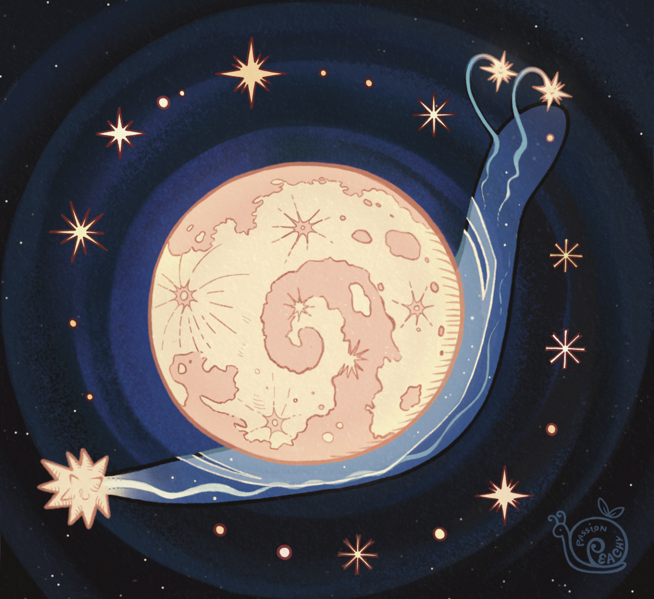
design brainstorming stuff =v= designing Compton is hard but GOES-16 kinda eats i love her

seen from United Kingdom
seen from United States

seen from United States
seen from T1

seen from Iraq

seen from Türkiye

seen from United States
seen from China

seen from United States
seen from Austria
seen from Japan

seen from T1

seen from T1

seen from Brazil
seen from Türkiye
seen from United States

seen from Brazil
seen from China

seen from Australia

seen from United States
design brainstorming stuff =v= designing Compton is hard but GOES-16 kinda eats i love her

Satellite data show that the two extreme bolts, both appearing over South America, more than doubled the previous records.
Two extreme bolts of lightning have smashed previous records for lightning duration and distance.
A bolt that lit up the sky over Argentina on March 4, 2019, lasted a mind-boggling 16.73 seconds, more than twice as long as the previous record holder, the World Meteorological Organization announced June 25. Meanwhile, a lightning bolt on October 31, 2018, set the new record for length. It stretched for 709 kilometers from the Atlantic Ocean, across part of Brazil and into Argentina, a length more than twice that of the previous record.
Previous assessments of flash duration and extent were collected by Lightning Mapping Arrays, ground-based networks of antennas and GPS receivers. Until now, the records were held by a 2007 flash in Oklahoma that stretched over 321 kilometers horizontally, and a 2012 flash in France that lasted almost eight seconds (SN: 10/17/16).
A 709-kilometer-long megaflash on October 31, 2018, extended across a large swath of Brazil, linking clouds over the Atlantic Ocean to clouds over Argentina, smashing a previous distance record. CREDIT: WMO, C. CHANG
The recent “megaflashes,” by contrast, were verified using satellite images, such as from the GOES-16 and GOES-17 satellites. Using satellite data makes it possible to detect extremes that were previously unobserved or outside the limits of detection of ground-based arrays, according to WMO. The new records will be logged in the WMO archive of world weather and climate extremes, will also be published online in an upcoming issue of Geophysical Research Letters.


Solstice
Just as this post appears, the planet Earth is passing the Solstice – the time when the sun is as far to the south as it can possibly get. This set of image frames is one of my favorite things to check out on the day of the solstice. This is today, December 21, as captured by the American GOES-16 weather satellite, currently sitting in a geostationary orbit over the center of this frame.
Some of the Earth’s orbital details are obvious in this clip. First of all, take a look at the south pole – much of Antarctica is illuminated 24 hours today, as you can see at the southern part of this frame. At the northern edge of the clip though, the Arctic receives very little sunlight and you can spot the shadowed line where there is no sunlight received at all. You can also look at how the sun moves across this frame and really get a feel for why it’s currently southern Hemisphere summer – watch how much more sunlight the southern hemisphere gets than the northern hemisphere.
-JBB Video source: http://rammb.cira.colostate.edu/ramsdis/online/goes-16.asp

GOES-16 feocolor image of Tropical Storm Irma (Sept 11th, 2017)

Lightning Storm Moves Across the USA
Watch a huge lightning storm move across the eastern USA. The huge storm caused much damage and unfortunately some loss of life for people in its path. Seen from space, the lightning is seen as momentary flashes in the featured time-lapse video recorded last month by the Geostationary Lightning Mapper (GLM) aboard the GOES-16 satellite. The outline of North America is most evident during the day, while the bright lightning strikes are most evident at night. Inspection of the video shows that much of the lightning occurred at the leading edge of the huge tail of the swirling storm. Because lightning frequently precedes a storm's most violent impact, lightning data from GLM holds promise to help reduce the harm to humans from future storms.
Video credit: NOAA, NASA, Lockheed Martin, GOES-16, GLM

New Weather Satellite Sends First Images of Earth
The release of the first images from NOAA’s newest satellite, GOES-16, is the latest step in a new age of weather satellites. This composite color full-disk visible image is from 1:07 p.m. EDT on Jan. 15, 2017, and was created using several of the 16 spectral channels available on the GOES-16 Advanced Baseline Imager (ABI) instrument. The image shows North and South America and the surrounding oceans. GOES-16 observes Earth from an equatorial view approximately 22,300 miles high, creating full disk images like these, extending from the coast of West Africa, to Guam, and everything in between.
Credit: NOAA/NASA

From NASA Image of the Day; February 27, 2017:
Images of the Sun From the GOES-16 Satellite
These images of the sun were captured at the same time on January 29, 2017 by the six channels on the Solar Ultraviolet Imager or SUVI instrument aboard NOAA’s GOES-16 satellite. They show a large coronal hole in the sun’s southern hemisphere. Data from SUVI will provide an estimation of coronal plasma temperatures and emission measurements which are important to space weather forecasting.
SUVI is essential to understanding active areas on the sun, solar flares and eruptions that may lead to coronal mass ejections which may impact Earth. Depending on the magnitude of a particular eruption, a geomagnetic storm can result that is powerful enough to disturb Earth’s magnetic field. Such an event may impact power grids by tripping circuit breakers, disrupt communication and satellite data collection by causing short-wave radio interference and damage orbiting satellites and their electronics. SUVI will allow the NOAA Space Weather Prediction Center to provide early space weather warnings to electric power companies, telecommunication providers and satellite operators.
NASA successfully launched GOES-R at 6:42 p.m. EST on November 19, 2016 from Cape Canaveral Air Force Station in Florida. It was renamed GOES-16 when it achieved orbit. GOES-16 is now observing the planet from an equatorial view approximately 22,300 miles above the surface of the Earth.
Image Credit: NOAA; Editor: Sarah Loff